Languages:
This site is created using Wikimapia data. Wikimapia is an open-content collaborative map project contributed by volunteers around the world. It contains information about 32842874 places and counting.
Learn more about Wikimapia and cityguides.
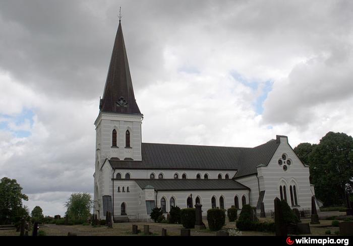
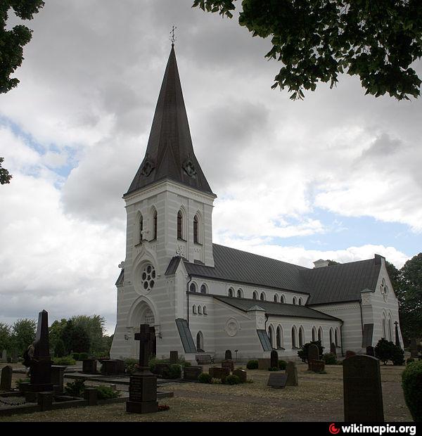
Kristianstad
A city and municipality;
www.google.fi/images?hl=fi&q=kristianstad&um=1&ie=UTF-8...
Wikipedia article: http://en.wikipedia.org/wiki/Kristianstad
Kristianstad on the map.


Recent city comments: