Talen:
This site is created using Wikimapia data. Wikimapia is an open-content collaborative map project contributed by volunteers around the world. It contains information about 32842874 places and counting.
Leer meer over Wikimapia en stadsgidsen.
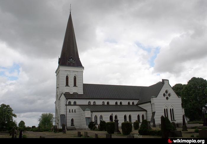
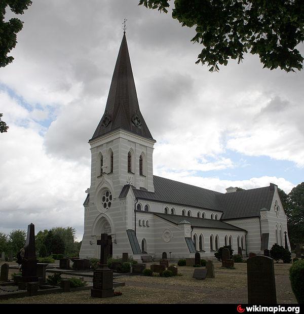
Kristianstad (stad)
Wikipedia-artikel: http://nl.wikipedia.org/wiki/Kristianstad_(stad)
Kristianstad (stad) op de kaart.